
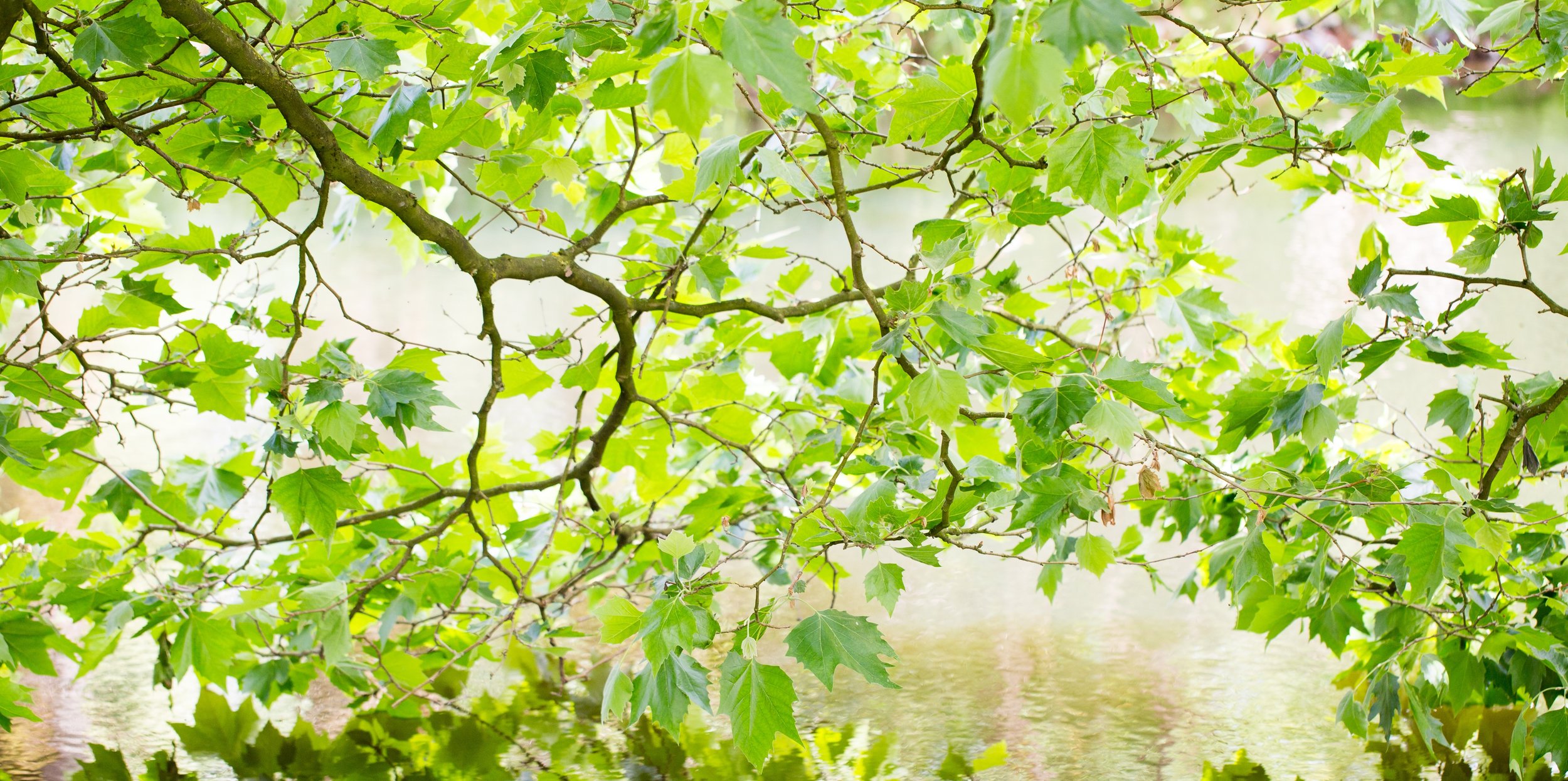
Explore Dane County’s Urban Forest
The urban forest in Madison and Dane County includes some spectacular places. From downtown oases to abundant city and county parks, you can enjoy the area’s natural spaces filled with towering trees and stunning vistas. Each destination is free and open to the public, and we’ll even give you directions. Join us as we learn about and explore our urban forests.
Ferry Bluff State Natural Area


Some hikes in Dane County’s urban forests are immersive woodland from beginning to end. Others take you through the city or out onto an open rural trail. Some start as one thing and become something else altogether.
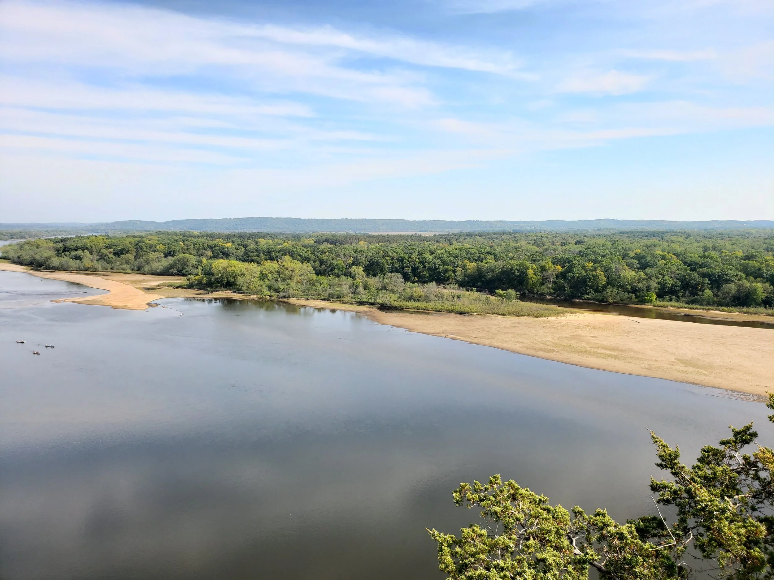
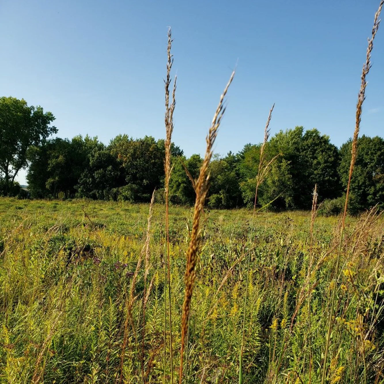
Ladies and gentlemen, welcome to Ferry Bluff State Natural Area.
Ferry Bluff begins as a beautiful wooded hike on a well-tended trail wide enough for two people. You’re surrounded by hickory, oak, basswood, and other trees as well as an abundance of ground cover. In the fall there you’ll find ferns, vines, and small trees right along the sides of the path.
This hike is not long, but it is steep. Your perseverance will be rewarded at the top of the trail, which opens out onto a breathtaking view of the Wisconsin River. You will not be disappointed.
Directions
We’re cheating a little bit because Ferry Bluff is just outside Dane County. But you can see Dane County, it’s right across the river from the bluff overlook.
Take Highway 12 out of Madison northwest to Sauk City, where it intersects with Highway 60. Head west on Highway 60 for a little over four miles, then turn left onto Ferry Bluff Rd. About a mile in, there is parking and a canoe launch on Honey Creek. The trail up to the bluff begins from there.
There are no facilities at Ferry Bluff. This is Wisconsin DNR-owned land so you’re free to hike and fish, but you won’t find anywhere to go to the bathroom or camp. There is no fee to use State Natural Areas.
Ferry Bluff is closed from the beginning of December until the end of March to protect the bald eagles that roost there. How cool is that?
Learn more about Ferry Bluff on the Wisconsin Department of Natural Resources website.
Elver Park

Elver Park's famous sledding hill looks different, and amazing, on a sunny fall afternoon
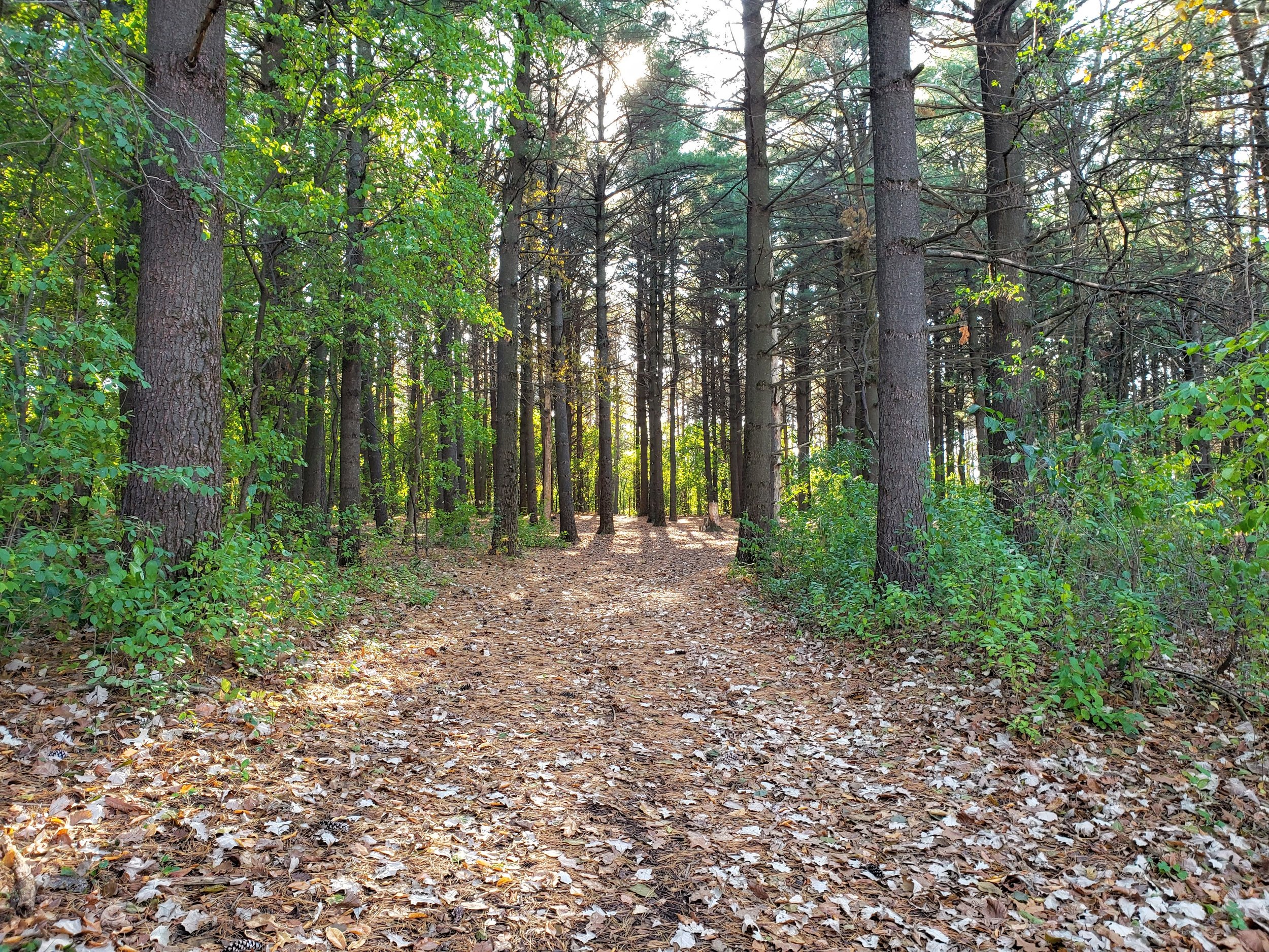
This walking trail through the woods at Elver Park is wide enough to be groomed for cross-country skiing in the winter

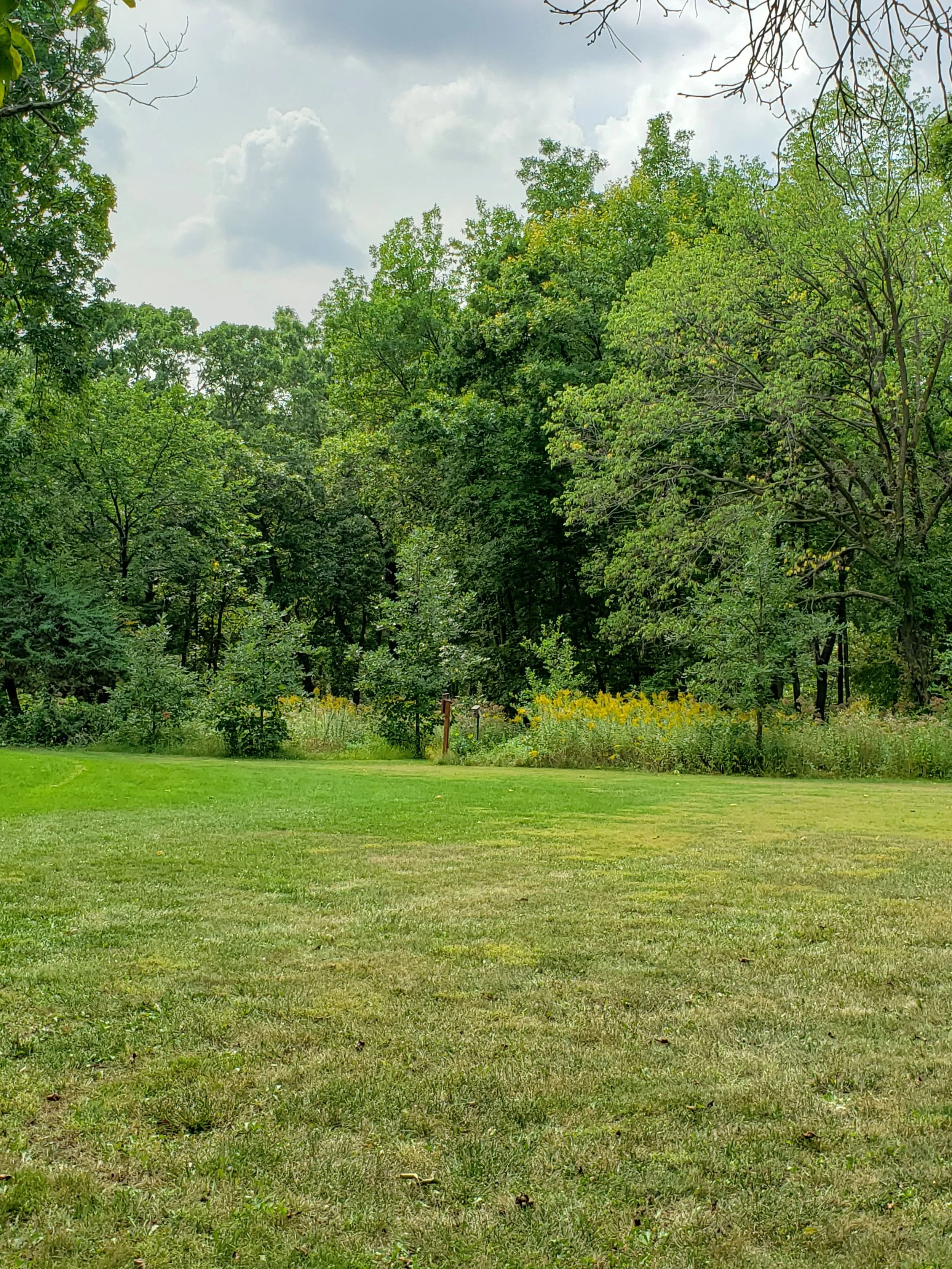
The Madison Parks Department grooms these wide grass trails for cross-country skiing in the winter and great walking the rest of the year

Just past the playground area as you head to the woods, you'll see the baseball diamonds and soccer fields through the evergreen conifers

The main open trail leads to the many acres of woods in Elver Park

This spot in Madison's Elver Park becomes the skating rink in the winter

Madisonians love their pickleball, so the tennis courts at Elver Park come complete with lines for the game

This little bridge crosses from Elver Park's open area into the woods

Example one million of things we didn't know existed in Elver Park
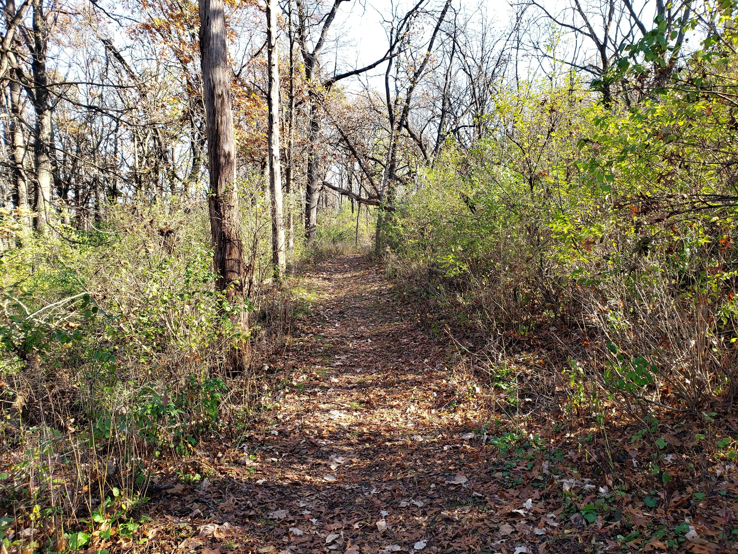
This forest trail is narrow and used for snowshoeing and walking only

Yes, there is even a pond at Elver Park, but it's for contemplative sitting, not fishing or swimming

You can reserve this shelter by the splash pad or the enclosed shelter by the skating rink

It's not so impressive in the late fall, but this splash pad is rocking on warm summer days
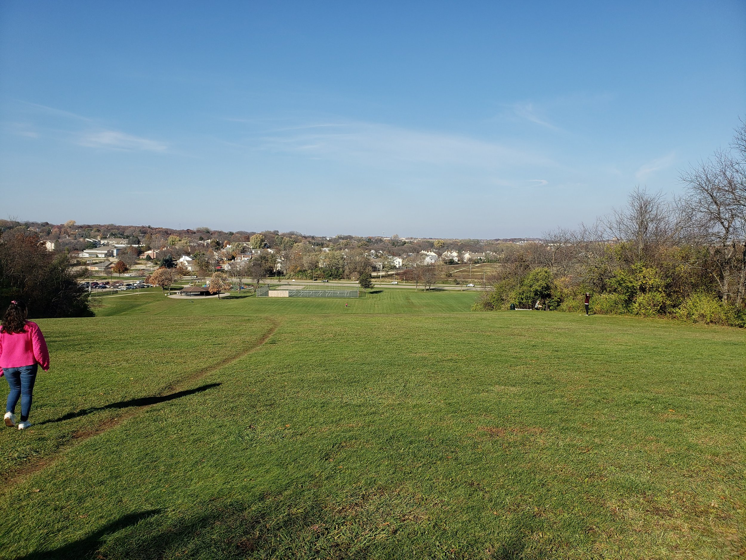
When the sun shines, the view from the top of the Elver park sledding hill is amazing

We don't know what this strip of concrete in the middle of the vast Elver Park grassy area is for, but we think probably alien landings
Our first Madison city park is also the largest Madison city park! Located on McKenna Blvd (this is what Gammon Rd turns into as you head west past Woodman’s) you might drive by and think it’s just a playground and a sledding hill.
But Elver Park is hiding a lot of great secrets. 250 acres of them, to be exact. Those acres contain a remarkable abundance of activities for the whole family. Right off the road, you’ll find the playground, a splash pad, tennis courts (with pickleball lines), a shelter with picnic tables and bathrooms, and in the winter, an ice rink with a pavilion.
Behind all that is a plentiful amount of green play space, soccer fields and baseball diamonds, and the famous sledding hill.
And we’ve only scratched the surface. Hidden away behind that green turf is a massive network of trails and woodland. Some are just for walking or snowshoeing, others are groomed for cross-country skiing in the winter. You’ll find both deciduous and coniferous forests on your hikes, as well as a fairly extensive disc golf course. The park is home to sponsored runs and other activities as well.
Permits are required for disc golf and cross-country skiing. The rest of the park is free and open to the public seven days a week from 4 am to 10 pm.
Festge County Park
-
![Festge Park, Dane County, WI]()
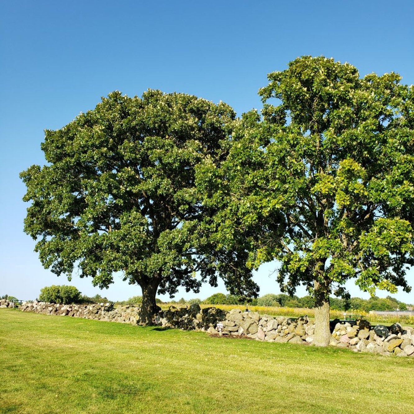
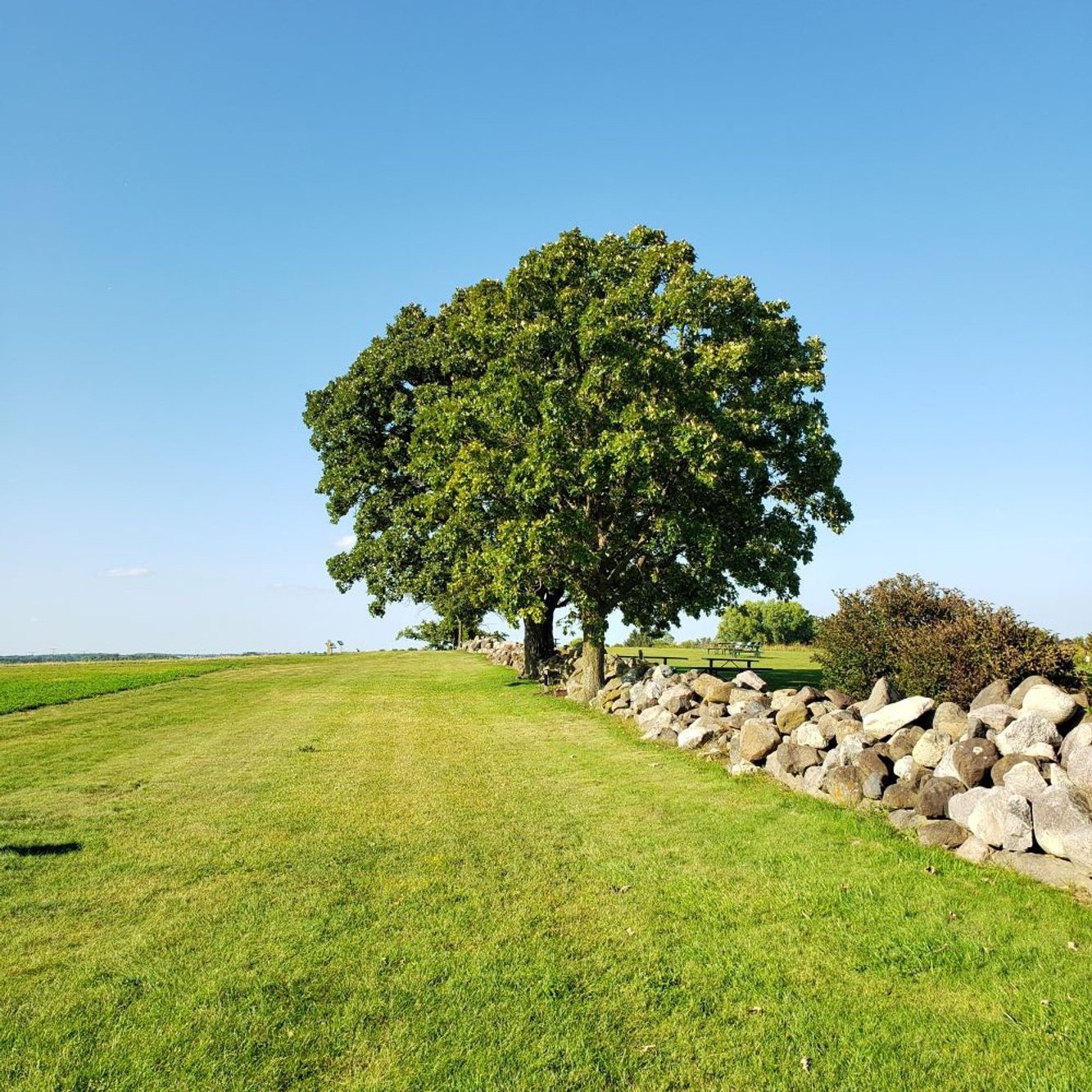
As you come into Festge Park there is a nice grassy area where you can picnic.
-
![Festge Park near Madison, Wisconsin]()
This is just a little peek at the gorgeous view of the Black Earth Creek Valley.
-
![Festge Park near Cross Plains, WI]()
Some of the paths at Festge are wide and easy to walk.
-
![Festge County Park, Dane County]()
Even parks need tree care and maintenance. This big guy has been trimmed to keep the path clear and safe for visitors.
-
![Festge Park Oak and hickory walk]()
This area of shagbark hickory and oak trees is a nice hike. Be careful of hickory nuts underfoot in the fall!


Festge County Park, located between Cross Plains and Black Earth, is a good place to take a peek at the Driftless Area. Untouched by the glaciers of the last ice age, driftless regions are geographically different than their glacier-affected neighbors.
Instead of being flattened and left with deposits of silt and gravel (drift), the Driftless Area features deep river valleys and steep cliffs. One of those is right in Festge Park, with a stunning scenic overlook of the Black Earth Creek Valley.
You’ll find hiking trails through shagbark hickory and oak trees along with play and picnic areas. There is a plowed parking lot as well as two shelters (one with electricity). Foraging is allowed in Festge Park and in the fall there are hickory nuts galore.
This is a great park for hiking or family outings in spring, summer, and fall. You can snowshoe in the winter. Be aware that archery hunting is allowed with a permit.
To get there, take Highway 14 west, pass through Cross Plains and in about a mile and a half take a right on Scherbel Road. The park is open from 5 am to 10 pm daily. Here is a good map of the park trails and amenities.
Pope Farm Conservancy


Pope Farm Conservancy in the Town of Middleton is a gorgeous mixed-use area filled with trees, prairies, and crops. Its 105 acres are protected from development and serve as both a four season destination for nature lovers and an educational goldmine for elementary school students.
You might remember Pope Farm for its glorious field of sunflowers in the late summer. They became a little too popular and had to be replaced with other crops. It still has beautiful views and some of the best grassy trails in Dane County.
Pope Farm has seven miles of trails winding through wooded areas, crops, and prairie. The wide grass trails make for comfortable walking and the interpretive signs provide information about the flora and fauna you’ll observe during your visit. Some trails are groomed for cross country skiing in the winter and some are open to horseback riders.
The Friends of Pope Farm Conservancy website has a wealth of information about the geology, Native American history, and everything you can explore in this Dane County urban forest gem. They also have a great trail map.
Directions: Head two miles west of the Beltline on Old Sauk Rd. to find the main entrance. There is a paved parking lot with limited facilities. The Conservancy is open from sunrise to sunset year round, is open to the public and always free to visit.
Cherokee Marsh
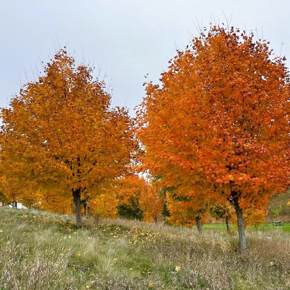
This beautiful view is of the Cherokee Marsh on Madison’s North Side. Visitors and nearby homeowners have an amazing view of the hackberry, oak, box elder, and black cherry trees that grow in this 1,300 acre wetland. It is both the largest wetland and the largest conservation park in Madison. In the fall, those maples turn a vibrant red.
The marsh is filled with wildlife, from returning pairs of nesting sandhill cranes to bucks that shed their antlers near trees.
Cherokee Marsh is divided into three sections, all with walking trails for visitors. To learn more and find directions and trail maps, visit the Friends of Cherokee Marsh website.
Pheasant Branch Conservancy

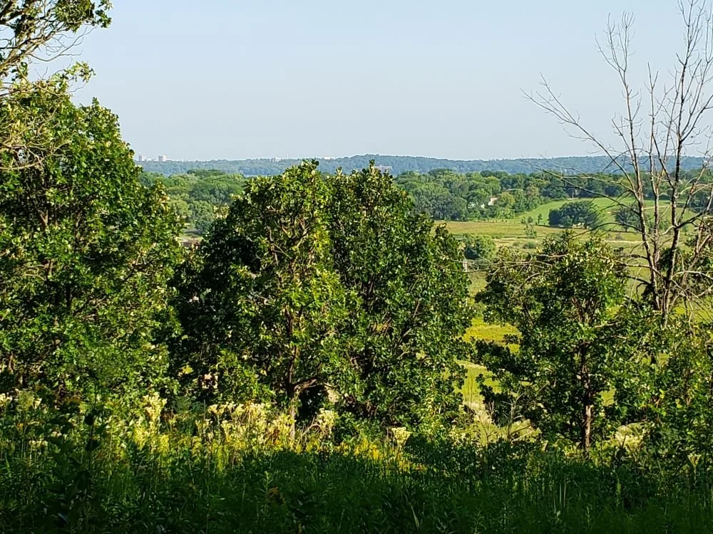

This beautiful spot is at the Pheasant Branch Conservancy in Middleton. Pheasant Branch has a lot of sections filled with trails. Some pass close to residential neighborhoods, others are more rural. This is Frederick’s Hill, located in the northern section of the Conservancy. It’s a quiet area with a sunny path leading to the shaded hilltop. These September views of the surrounding area are gorgeous.
This part of Pheasant Branch is off Century Ave in Middleton. Take a left on Frank Lloyd Wright Ave and then a right onto Pheasant Branch Rd. This will take you along the western edge of the Conservancy. There is a free gravel parking lot at historical marker #398 that has access to this and several other trails.
Learn more and find great interactive maps on the Pheasant Branch Conservancy website.